GHS / Miami Valley Paranormal
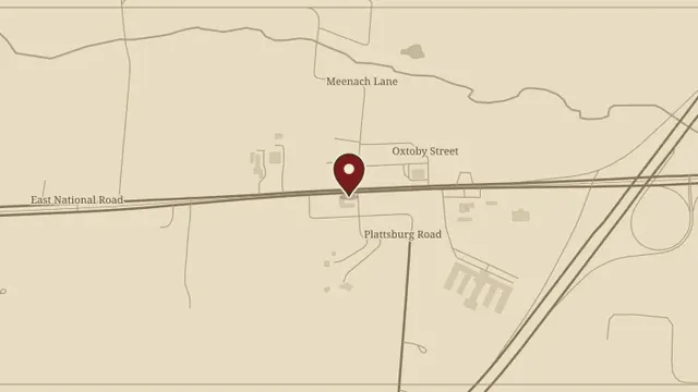
Harmony House: 4732 East National Road
Jonathan and Andrea’s October 24, 2020 research follows the Harmony property, its former residents, village history, and surviving land records.
Read the complete report ↗
Jonathan and Andrea’s October 24, 2020 research follows the Harmony property, its former residents, village history, and surviving land records.
Read the complete report ↗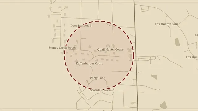
A short research file traces the former Myers homestead in German Township. The document says 3354 Maple Grove Road, while its filename says 3353.
Read the complete report ↗