GHS case archive
Image Analysis Report 1000-01
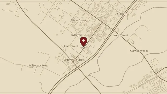
Jonathan’s full analysis of Andrea’s Waynesville photograph, preserving the methodology, image identifiers, conclusions, revision history, and recovered analysis exhibits.
Read the complete report ↗
Jonathan’s full analysis of Andrea’s Waynesville photograph, preserving the methodology, image identifiers, conclusions, revision history, and recovered analysis exhibits.
Read the complete report ↗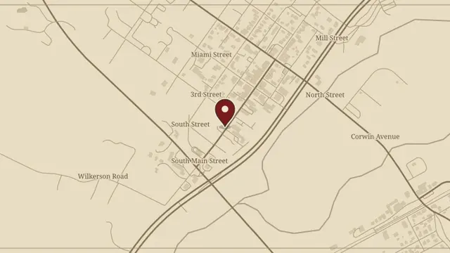
Andrea and Jonathan’s original account of their Waynesville walk and the photographs taken that night, restored with the complete image sequence and newspaper clipping.
Read the complete report ↗