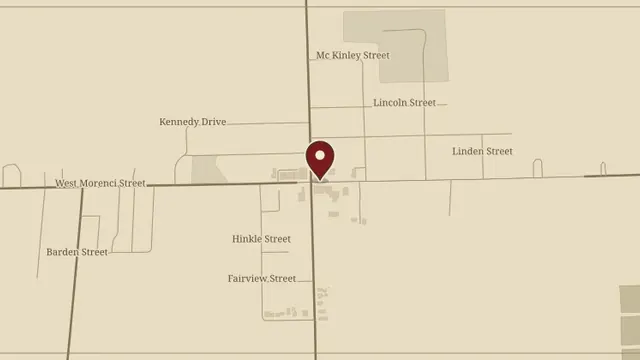
PSEI research
113 East Morenci Street, Lyons
A PSEI report on the Egnew–Lehr building in Lyons, with property details, ownership history, family records, and photographs.
Read the complete report ↗
A PSEI report on the Egnew–Lehr building in Lyons, with property details, ownership history, family records, and photographs.
Read the complete report ↗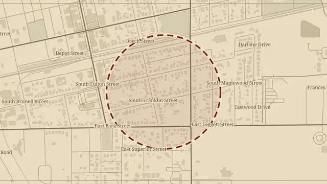
Andrea’s research brings together Fulton County and Wauseon history, property information, and accounts connected with this State Route 108 address.
Read the complete report ↗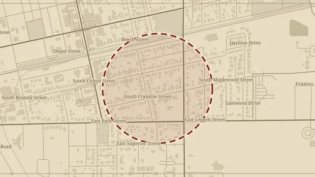
Andrea’s report collects the history of Wauseon and Fulton County alongside the property and family research for County Road K.
Read the complete report ↗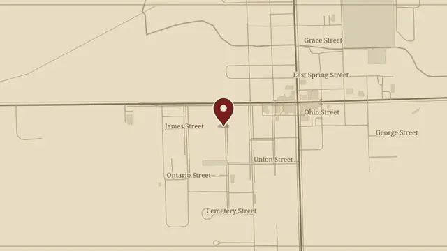
The PSEI file records this Fayette property’s details and its place in John Gamber’s Addition.
Read the complete report ↗