PSEI research
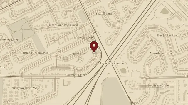
170 Edgewood Drive, Perrysburg
Property records, earlier owners, and nearby Fort Meigs history form this PSEI research file for the Perrysburg home.
Read the complete report ↗
Property records, earlier owners, and nearby Fort Meigs history form this PSEI research file for the Perrysburg home.
Read the complete report ↗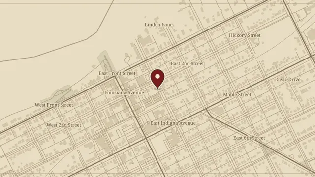
The companion Elm Street file preserves the recorded chain of ownership and collected source material for Lot 436.
Read the complete report ↗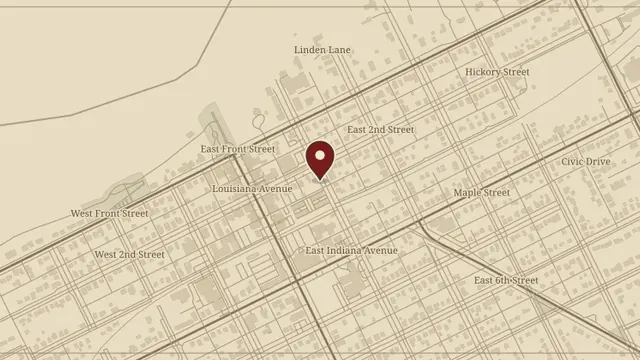
Andrea Batteas and Nicole Jankowski’s report covers the Elm Street apartments, Perrysburg history, and the people associated with the property.
Read the complete report ↗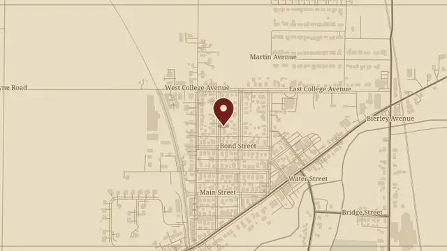
Andrea’s research brings together Pemberville’s history, property records, and the people connected with this Oak Street address.
Read the complete report ↗
A full report on the Luckey property and Wood County history. The manuscript says 231 Maple Street; its original filename says 213, and both references are retained for review.
Read the complete report ↗