The Grave Hunters Society

Lucas County

Street map centered on the location of 120 Richards Road, Toledo, marked with a red pin
PSEI research

120 Richards Road, Toledo

Not recorded in the surviving document

Andrea’s report traces residents of the Richards Road home and preserves the obituaries, neighborhood background, and supporting records collected for the case.

Read the complete report ↗

© OpenStreetMap contributors

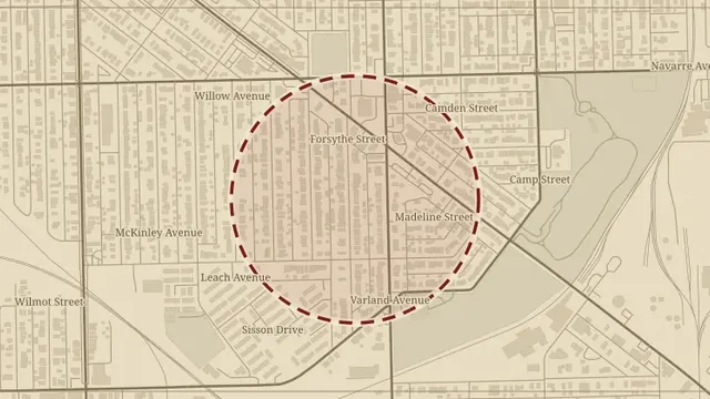
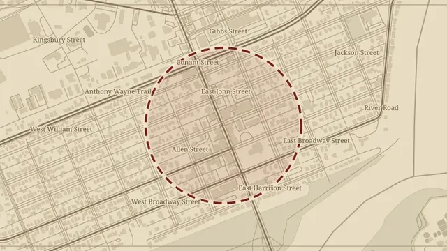
Area map of East Toledo, Ohio, with the general area circled
PSEI research

1354 East Broadway Street, Toledo

Not recorded in the surviving document

A PSEI property history with Toledo and Lucas County background, collected records, and a separate supplement concerning Elisha Fassett and the land’s earlier ownership.

Read the complete report ↗
© OpenStreetMap contributors

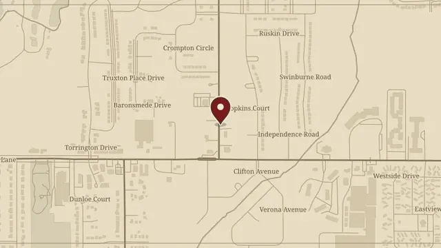
Street map centered on the location of 1436 Eleanor Avenue, Toledo, marked with a red pin
PSEI research

1436 Eleanor Avenue, Toledo

Not recorded in the surviving document

The PSEI report follows the Eleanor Avenue house through its construction, deed transfers, and names associated with the property.

Read the complete report ↗
© OpenStreetMap contributors

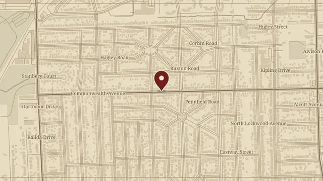
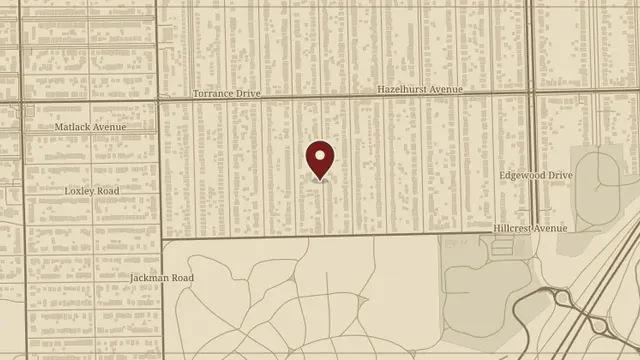
Street map centered on the location of 2022 Adams Street, Toledo, marked with a red pin
PSEI research

2022 Adams Street, Toledo

Not recorded in the surviving document

A PSEI study of the Thermal Engineering Building and its connected structures, with Warren Sherman neighborhood history and ownership research.

Read the complete report ↗
© OpenStreetMap contributors

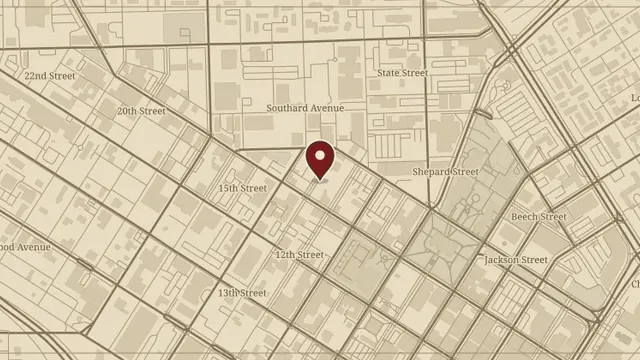
Street map centered on the location of 3617 Leybourn Avenue, Toledo, marked with a red pin
PSEI research

3617 Leybourn Avenue, Toledo

Not recorded in the surviving document

A PSEI account of the Leybourn Avenue home, its ownership history, and records associated with its residents.

Read the complete report ↗
© OpenStreetMap contributors

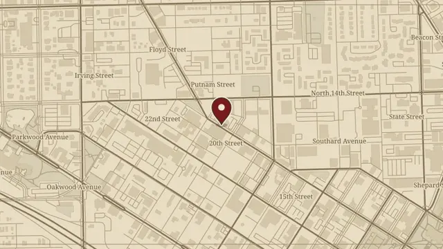
Street map centered on the location of 436 Thirteenth Street, Toledo, marked with a red pin
PSEI research

436 Thirteenth Street, Toledo

Not recorded in the surviving document

A PSEI ownership study of the Thirteenth Street buildings and warehouse, preserving the original account and collected illustrations.

Read the complete report ↗
© OpenStreetMap contributors

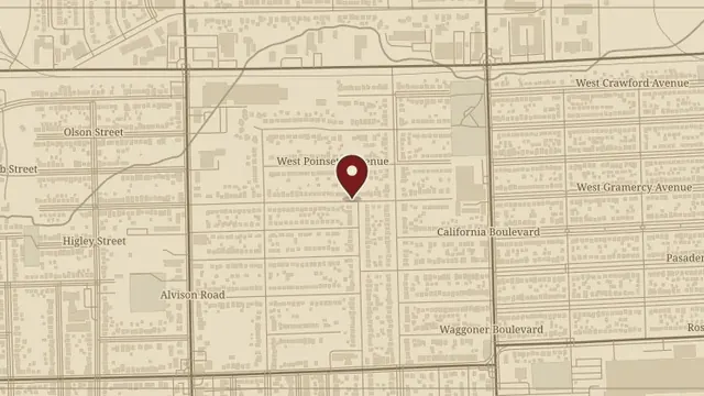
Street map centered on the location of 702 West Gramercy Avenue, Toledo, marked with a red pin
PSEI research

702 West Gramercy Avenue, Toledo

Not recorded in the surviving document

A PSEI property study of the Gramercy Avenue house and the Alfred Bailey Addition, with ownership and family information.

Read the complete report ↗
© OpenStreetMap contributors

Area map of Maumee, Ohio, with the general area circled
PSEI research

8533 Garden Road, Maumee

Not recorded in the surviving document

The PSEI file follows the Garden Road farmhouse, earlier residents, and the surrounding agricultural property.

Read the complete report ↗
© OpenStreetMap contributors

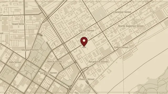
Street map centered on the location of The Casey Pomeroy House, marked with a red pin
PSEI research

The Casey Pomeroy House

Not recorded in the surviving document

The full PSEI research report on the Casey Pomeroy House, including its architectural history, residents, and collected source material.

Read the complete report ↗
© OpenStreetMap contributors

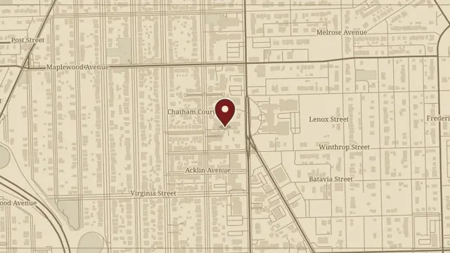
Street map centered on the location of Collingwood Arts Center, marked with a red pin
PSEI research

Collingwood Arts Center

Not recorded in the surviving document

Andrea’s PSEI report follows Collingwood Arts Center, the surrounding area, and the people whose lives appear in its history.

Read the complete report ↗
© OpenStreetMap contributors

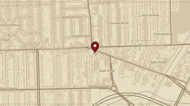
Street map centered on the location of Mancy’s Steakhouse, Toledo, marked with a red pin
PSEI research

Mancy’s Steakhouse, Toledo

Not recorded in the surviving document

Andrea, Jonathan, and Nicole’s report collects the history of Mancy’s Steakhouse, its Phillips Avenue property, and Toledo’s surrounding historical context.

Read the complete report ↗
© OpenStreetMap contributors

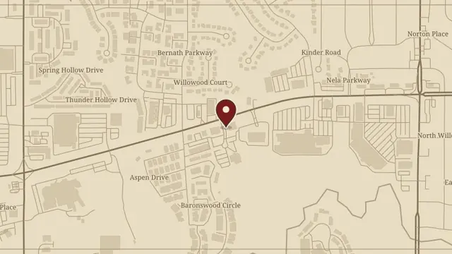
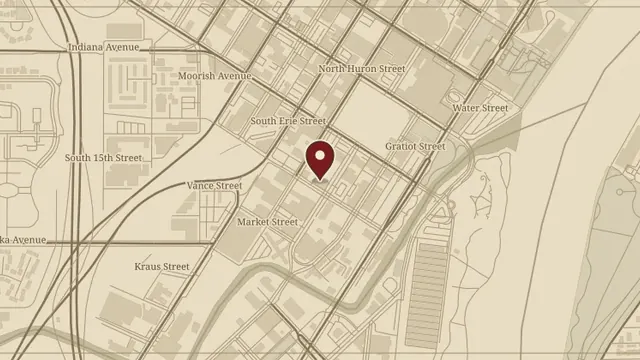
Street map centered on the location of The Pet Farm, Toledo, marked with a red pin
PSEI research

The Pet Farm, Toledo

Not recorded in the surviving document

The PSEI report follows the Baronial Plaza property, its land and ownership history, and the Muer family account collected during the research.

Read the complete report ↗
© OpenStreetMap contributors

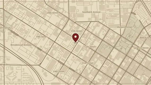
Street map centered on the location of Spaghetti Warehouse, Toledo, marked with a red pin
PSEI research

Spaghetti Warehouse, Toledo

Not recorded in the surviving document

The PSEI research file for Toledo’s Spaghetti Warehouse, preserving its property details, historical account, and supporting illustrations.

Read the complete report ↗
© OpenStreetMap contributors

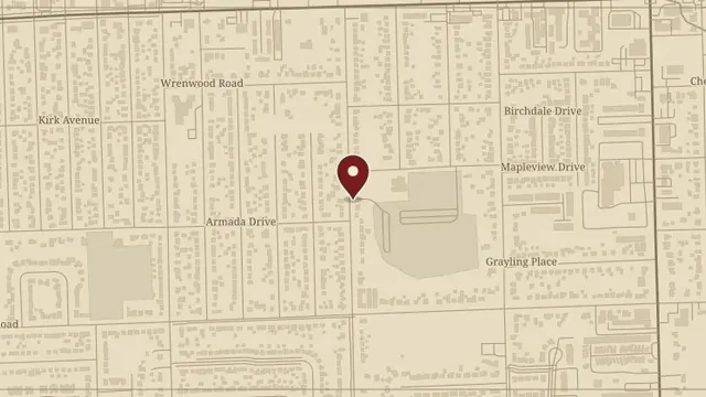
Street map centered on the location of The Toledo Club, marked with a red pin
PSEI research

The Toledo Club

Not recorded in the surviving document

A complete PSEI research report covering the Toledo Club, its building, founders, members, and associated history.

Read the complete report ↗
© OpenStreetMap contributors

Street map centered on the location of Washington Branch Library, marked with a red pin
PSEI research

Washington Branch Library

Not recorded in the surviving document

Andrea Batteas and Nicole Jankowski’s report on the Washington Branch Library, its neighborhood, and the history of the surrounding area.

Read the complete report ↗

© OpenStreetMap contributors

Back to the Ohio map